


Ferrybridge Canal & River Aire Circular Walk
- Michael Palmer

- May 8, 2023
- 8 min read
Updated: Aug 6

Ferrybridge Canal & River Aire Circular Walk – 4.27 Easy Miles in West Yorkshire
Looking for an easy waterside walk in West Yorkshire? Our 4.27-mile Ferrybridge Canal and River Aire Circular Walk combines pleasant walking beside the water with an interesting mixture of local, industrial and transport history.
Lyn and I personally walked, photographed and GPS recorded this route for The White Shire.
We'd rate this as an easy walk.
At 4.27 miles, it's a nice manageable distance for a morning or afternoon out, without the significant climbs found on some of our hillier Yorkshire routes.
The River Aire is naturally one of the main features, but Ferrybridge itself has a fascinating story. This has been an important river crossing for centuries, while the Aire & Calder Navigation later helped turn the area into an important route for industry and commerce.
Ferrybridge Walk at a Glance
Distance: 4.27 miles
Route type: Circular
Difficulty: Easy – based on our experience
Location: Ferrybridge
County: West Yorkshire
Nearby: Knottingley, Pontefract, Brotherton and Castleford
Terrain: Canal towpaths, riverside paths, tracks and surfaced sections
Highlights: River Aire, Aire & Calder Navigation, historic Ferry Bridge and industrial heritage
Walked and photographed by: Michael and Lyn Palmer, The White Shire
Our Ferrybridge Canal & River Aire Walk
Lyn and I found this to be a nice, straightforward waterside walk.
We're always drawn to routes that include rivers and canals.
There's usually something happening along the water, whether it's boats, wildlife, bridges or reminders of Yorkshire's industrial past.
At 4.27 miles, this isn't particularly long either.
We found it easy going and a good option when you fancy getting out for a decent walk without committing to anything too demanding.
What makes Ferrybridge particularly interesting, though, is just how important this stretch of the River Aire has been over the centuries.
Where is Ferrybridge?
Ferrybridge lies beside the River Aire in the Wakefield district of West Yorkshire, close to Knottingley and Pontefract.
The location of the settlement is closely connected with the river.
The landscape narrows around Ferrybridge, creating a natural place to cross the Aire. Archaeological research for the Wakefield district records that the crossing was in use by at least the 10th century, while a bridge was present by 1198. (Archaeology Data Service)
That means people have been crossing the river here for at least a thousand years.
Today, Lyn and I are following the water purely because we enjoy walking.
For generations before us, crossing the Aire here was part of an important journey through Yorkshire.
Why is it Called Ferrybridge?
The name gives us a clue to the settlement's origins.
Before there was a permanent bridge, people crossed the River Aire by ferry.
The settlement is recorded as “Ferie” in the Domesday Survey of 1086, and the river crossing probably existed before the Norman Conquest. (Archaeology Data Service)
Eventually, bridges replaced the ferry.
But the old name survived.
It's one of those little pieces of history that makes perfect sense once you're actually standing beside the river.
The Historic Ferry Bridge
One of the most interesting landmarks around Ferrybridge is the old bridge across the River Aire.
The historic crossing was rebuilt towards the end of the 18th century as traffic increased and improvements were needed to allow barges to pass more easily beneath it. (Archaeology Data Service)
The surviving stone bridge is a reminder of just how important Ferrybridge was as a transport route.
Long before the A1(M) and M62 arrived, travellers were passing through here on one of the country's great north-south routes.
Walking gives you the opportunity to stop and appreciate structures like this rather than simply driving past them.
The Great North Road
Ferrybridge's importance wasn't limited to the river.
The Great North Road passed through the settlement, providing the historic route between London, York and further north.
For centuries, travellers, stagecoaches, mail and goods passed through Ferrybridge.
The river crossing made it a natural stopping and transit point.
It's interesting to think about how that role has continued.
The stagecoaches have disappeared, but Ferrybridge remains surrounded by major transport routes today.
The technology changed.
The importance of the location didn't.
The Battle of Ferrybridge
Ferrybridge also played a small but important part in one of the most dramatic periods of English history.
In March 1461, fighting took place around the river crossing immediately before the Battle of Towton.
The engagement became known as the Battle of Ferrybridge.
The following day, the Yorkist and Lancastrian armies fought at Towton in what became one of the bloodiest battles of the Wars of the Roses.
It's another reminder that this apparently quiet stretch of the River Aire has witnessed far more history than you might initially imagine. (Wikipedia)
The Aire & Calder Navigation
The waterways became increasingly important as Yorkshire industrialised.
Improvements to the River Aire began following an Act at the end of the 17th century, and by 1704 boats could navigate much further upstream towards Leeds.
Later developments transformed the system again.
A new 17-mile canal from Knottingley towards Goole was constructed during the 1820s, creating a much more efficient connection between Yorkshire's industrial districts and the Humber. (Pennine Waterways)
Ferrybridge sat right beside this increasingly important transport network.
Walking Along the Water
Today, the waterways provide Lyn and me with something completely different.
A walking route.
The relatively level nature of canal and riverside paths is one of the reasons we've rated this walk easy.
You don't have to concentrate on climbing the next hill.
Instead, you can look around.
Boats, bridges, wildlife and remnants of industry all provide something to see.
For us, waterside walking tends to have a nice relaxed pace.
Ferrybridge and Yorkshire's Coal Industry
Coal eventually became enormously important to this part of Yorkshire.
The wider area around Ferrybridge, Knottingley, Castleford and Pontefract developed as part of the Yorkshire coalfield.
The Aire & Calder Navigation became an important way of transporting coal from the collieries.
Special compartment boats known as Tom Puddings were developed during the 19th century, allowing trains of coal-filled compartments to be pushed along the navigation towards Goole. (Pennine Waterways)
It's difficult to imagine just how busy these waterways once were when you're enjoying a quiet walk beside them today.
Ferrybridge Power Station
For generations, one structure dominated the local skyline.
Ferrybridge Power Station.
Successive power stations were built at Ferrybridge during the 20th century, with the enormous cooling towers becoming a familiar landmark visible for miles around.
For anyone who knew this part of West Yorkshire, those cooling towers were unmistakably Ferrybridge.
Their disappearance dramatically changed the skyline.
It's another example of something Lyn and I notice on many of our walks.
Yorkshire's landscape is constantly changing.
Industries arrive.
They shape communities for generations.
Then they disappear, leaving traces behind.
A Landscape Built Around Transport
One thing that becomes obvious when you look at Ferrybridge's history is how transport has continually shaped the place.
First there was the river crossing.
Then the bridge.
The Great North Road.
The canal.
Railways.
And eventually the A1 and motorway network.
For centuries, people and goods have been moving through Ferrybridge.
Our reason for being here is considerably simpler.
We're out for a walk.
But we're still following routes shaped by that same geography.
Wildlife Along the River Aire
Despite the area's heavily industrial past, the River Aire and surrounding waterways provide useful habitat for wildlife.
Waterbirds are amongst the easiest things to spot, while trees, bankside vegetation and quieter stretches of water support a variety of other species.
Lyn and I aren't expert birdwatchers.
We simply enjoy keeping our eyes open and seeing what appears.
That's one of the things we enjoy about walking beside water – there's usually something happening.
Is the Ferrybridge Canal & River Aire Walk Difficult?
Based on our experience, no.
Lyn and I rate our 4.27-mile Ferrybridge Circular Walk as easy.
The relatively level waterside sections make it much more straightforward than our hillier Pennine, moorland and Yorkshire Wolds routes.
We didn't encounter anything we'd describe as particularly demanding.
As always, recent weather can make a difference.
Towpaths and unsurfaced sections can become wet or muddy, so we'd still recommend suitable walking shoes.
Is This Walk Suitable for Beginners?
We think it could be a good option.
At 4.27 miles, the distance is manageable for many people who are comfortable walking for a couple of hours.
There aren't significant hills to tackle, and we found the route straightforward.
If you're beginning to explore longer Yorkshire walks but don't fancy rough moorland or steep climbs, this type of waterside route can be a good place to start.
How Long is the Ferrybridge Walk?
Our GPS-recorded Ferrybridge Canal & River Aire Circular Walk measures 4.27 miles. (The White Shire)
How long you'll need naturally depends on your pace and how often you stop.
Lyn and I don't rush.
We're normally taking photographs, looking at old buildings and stopping whenever something catches our attention.
For us, the point isn't to complete the mileage as quickly as possible.
It's about enjoying being outside together and discovering more about the places we're walking through.
When is the Best Time to Walk Around Ferrybridge?
We'd consider this route throughout most of the year.
Spring and summer bring greener surroundings and longer daylight hours.
Autumn changes the colours along the river.
Winter can reveal more of the old industrial landscape once the vegetation dies back.
Because this is primarily a waterside walk rather than a route dependent on distant views, you don't necessarily need perfect weather.
Recent rainfall is probably more important because of the potential effect on path conditions.
What Else Can You Explore Nearby?
Pontefract is only a short distance away and is well worth exploring, particularly for Pontefract Castle and the town's history.
Knottingley lies immediately east of Ferrybridge and has its own strong connection with the waterways and industrial development of the area.
Castleford is another good option, especially if you're interested in Roman history and the Aire & Calder Navigation.
Lyn and I have explored several walks around this part of West Yorkshire, so there are plenty of options if you enjoy waterside and industrial heritage routes.
Explore More West Yorkshire Walks
If you've enjoyed our Ferrybridge Canal & River Aire route, Lyn and I have personally walked and photographed plenty more routes throughout West Yorkshire.
Some are short and easy waterside walks like this one.
Others take us through villages, woodland, open countryside and onto the moors.
Or browse our complete collection:
About Michael and Lyn
Michael and Lyn Palmer explore Yorkshire together on foot, personally walking, photographing and GPS recording the routes featured on The White Shire.
Our walking guides are based on our own experiences and combine practical information with some of the history and character of the places we discover.
We're not professional hikers. We're simply a husband and wife who enjoy getting out together, finding somewhere interesting to walk and discovering more of Yorkshire along the way.
Ferrybridge is a good example of why we enjoy exploring places that aren't necessarily obvious walking destinations.
Once you start looking into the history, an easy walk beside the River Aire becomes a journey through centuries of Yorkshire's story.
Ferrybridge Canal & River Aire Walk – Our Verdict
Our GPS-recorded Ferrybridge Canal & River Aire Circular Walk measures 4.27 miles.
Lyn and I rate it as an easy walk.
It's a nice manageable distance, the waterside sections are relatively straightforward and there's plenty of history to discover along the way.
What we particularly like about Ferrybridge is how many different periods of history come together around one river crossing.
Medieval travellers crossed the Aire here.
Yorkists and Lancastrians fought here during the Wars of the Roses.
Later generations travelled the Great North Road.
Industrial boats carried coal along the waterways.
And eventually the enormous Ferrybridge Power Station dominated the skyline.
Today, Lyn and I get to explore the same landscape at a considerably more relaxed pace.
For us, that's exactly what The White Shire is about – getting out together and discovering the stories hidden within the Yorkshire landscape.
Ferrybridge Canal & River Aire Circular Walk – 4.27 Easy Miles in West Yorkshire

Ferrybridge walk. 
Ferrybridge walk. 
Ferrybridge walk. 
Ferrybridge walk. 
Ferrybridge walk. 
Ferrybridge walk. 
Ferrybridge walk. 
Ferrybridge walk. 
Ferrybridge walk. 
Ferrybridge walk. 
Ferrybridge walk. 
Ferrybridge walk. 
Ferrybridge walk. 
Ferrybridge walk. 
Ferrybridge walk. 
Ferrybridge walk. 
Ferrybridge walk. 
Ferrybridge walk. 
Ferrybridge walk. 
Ferrybridge walk. 
Ferrybridge walk. 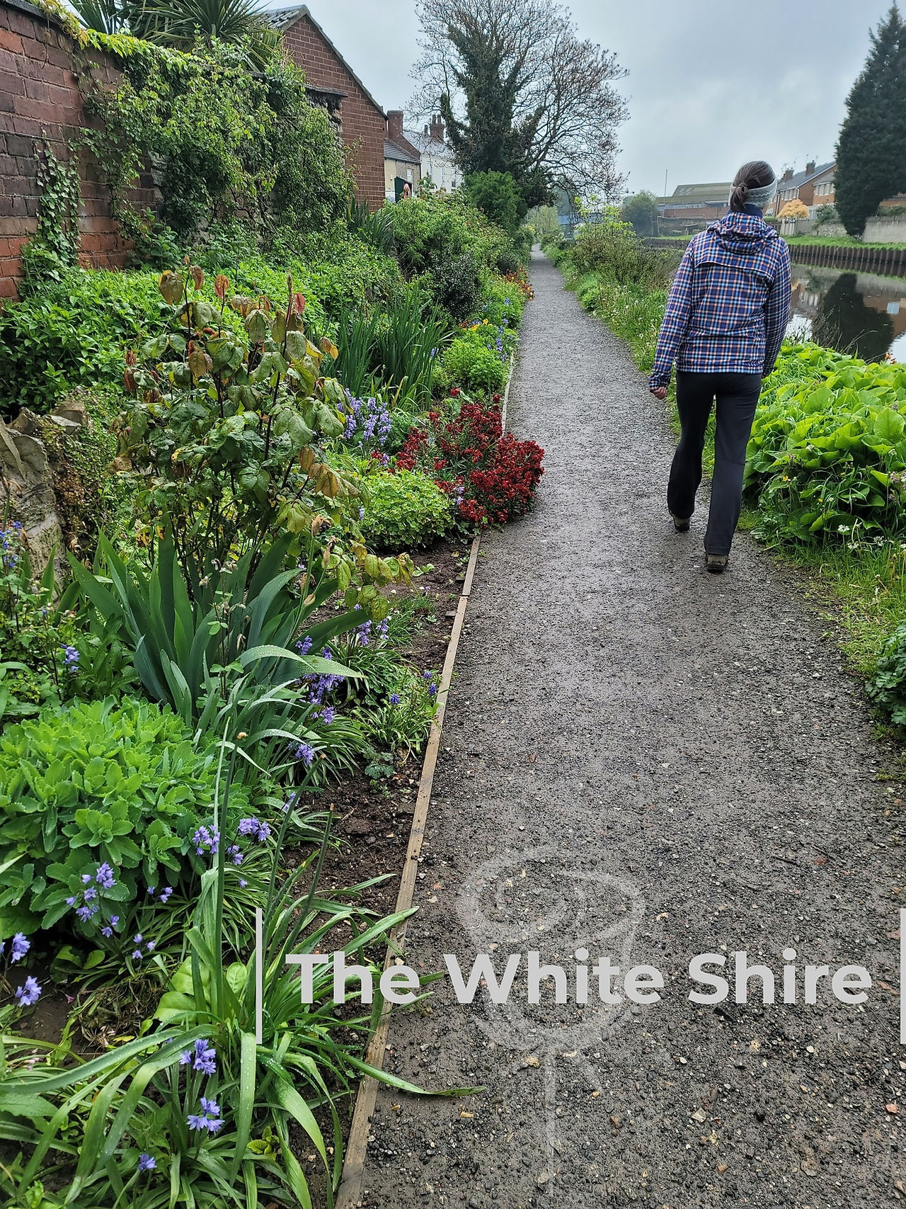
Ferrybridge walk. 
Ferrybridge walk. 
Ferrybridge walk. 
Ferrybridge walk. 
Ferrybridge walk. 
Ferrybridge walk. 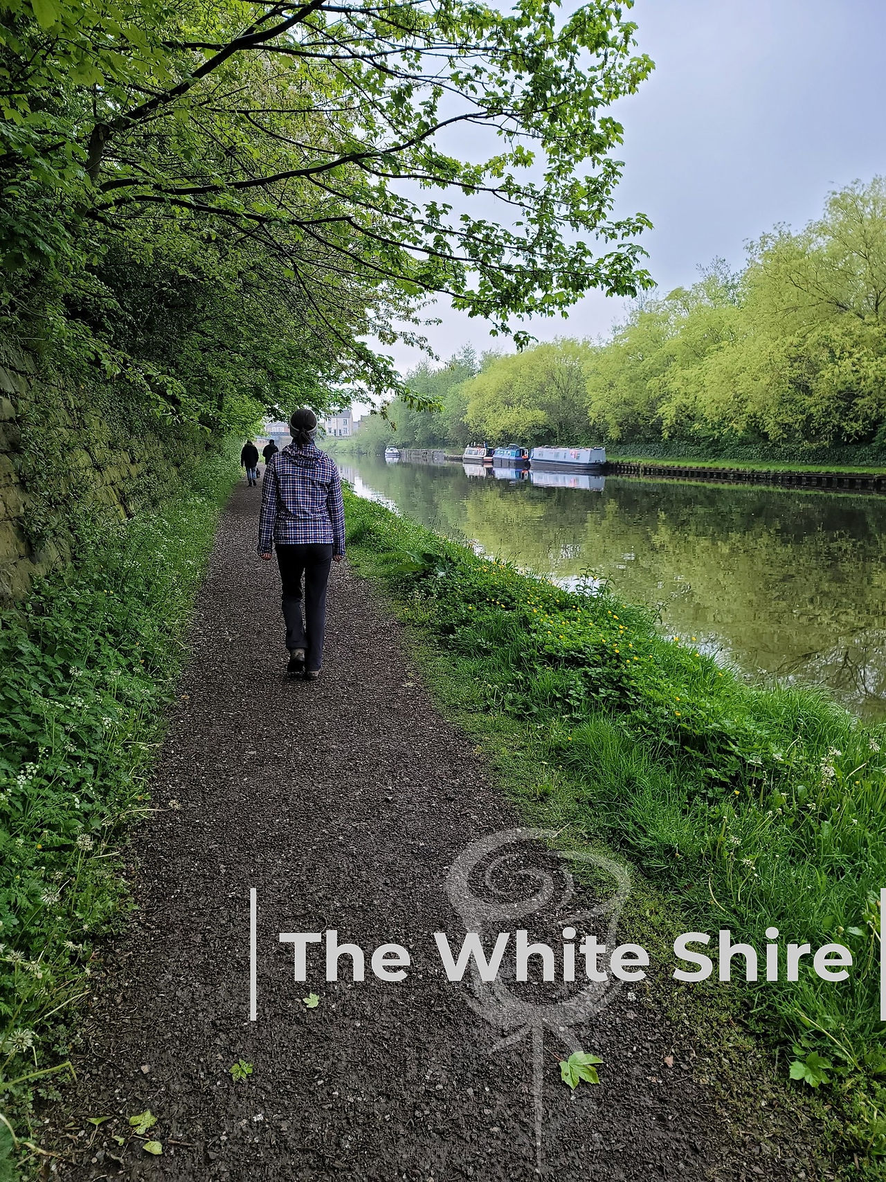
Ferrybridge walk. 
Ferrybridge walk. 
Ferrybridge walk. 
Ferrybridge walk. 
Ferrybridge walk. 
Ferrybridge walk. 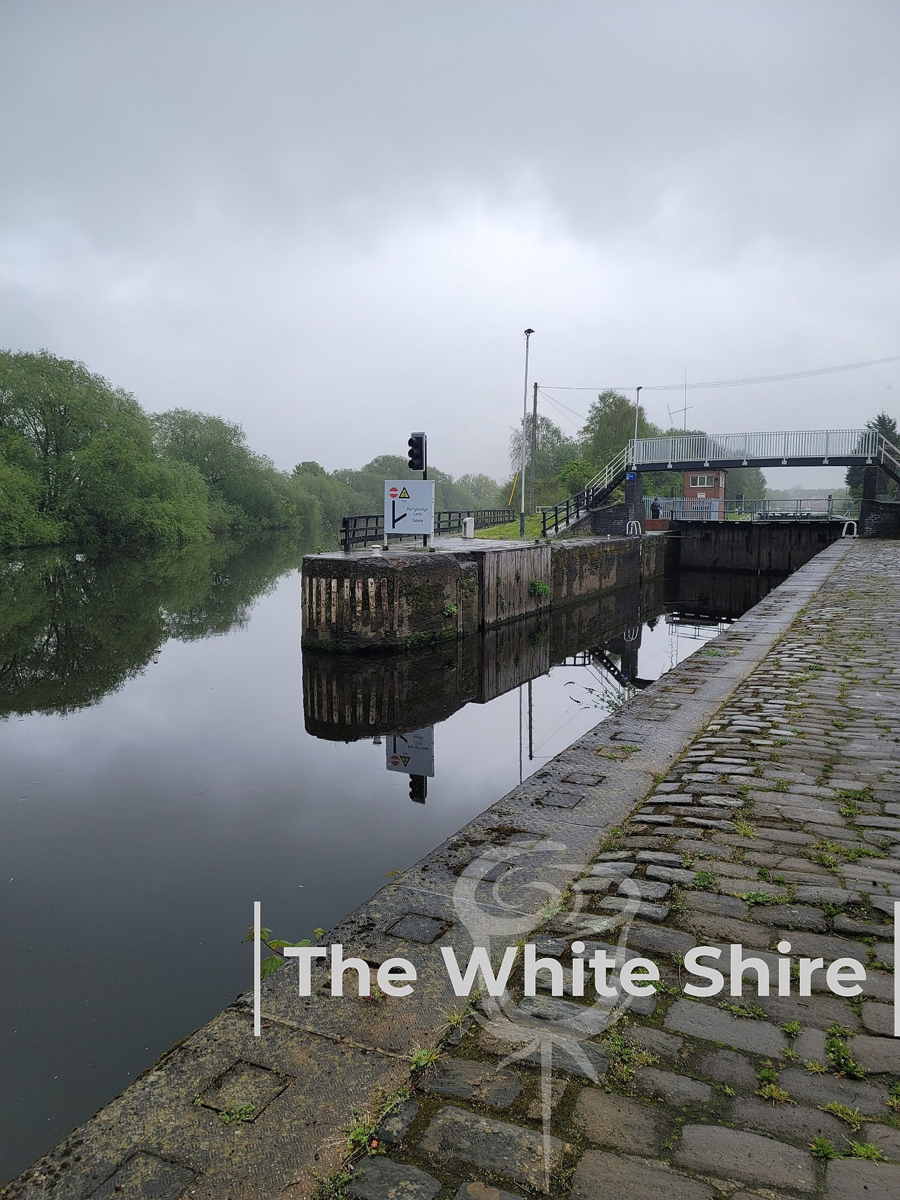
Ferrybridge walk. 
Ferrybridge walk. 
Ferrybridge walk. 
Ferrybridge walk.


Comments