
Hebble & Calder Loop Walk | West Yorkshire

Updated: Oct 23
The Calder and Hebble waterways are a distinctive part of West Yorkshire's industrial landscape. This is our recorded loop in that area, with the original Komoot route immediately above and 18 photographs from the outing preserved below.
Walk at a Glance
Area: Calder and Hebble waterways, West Yorkshire. Route: Loop. Exact mileage and starting point: Use the original Komoot recording. The available published notes do not establish a reliable distance, so we have not guessed one.
What the Walk Is About
This route is centred on the Calder and Hebble waterway landscape, where stretches of canal and river sit close to towns shaped by mills and transport. It is quite different from open moorland walking: the interest here is in the water, the surrounding valley and the engineering that made navigation possible.
The original recorded route provides the line to follow, rather than a turn-by-turn description reconstructed from incomplete notes. Our 18 photographs remain with the article.
The Calder & Hebble Navigation
The Calder & Hebble Navigation developed to carry goods between Wakefield and the upper Calder Valley. Navigation reached Sowerby Bridge in 1770, helping connect Yorkshire's industrial towns with wider markets. The system includes locks and engineered channels, and links with the Rochdale Canal at Sowerby Bridge.

Hebble and Calder 
Hebble and Calder 
Hebble and Calder 
Hebble and Calder 
Hebble and Calder 
Hebble and Calder 
Hebble and Calder 
Hebble and Calder 
Hebble and Calder 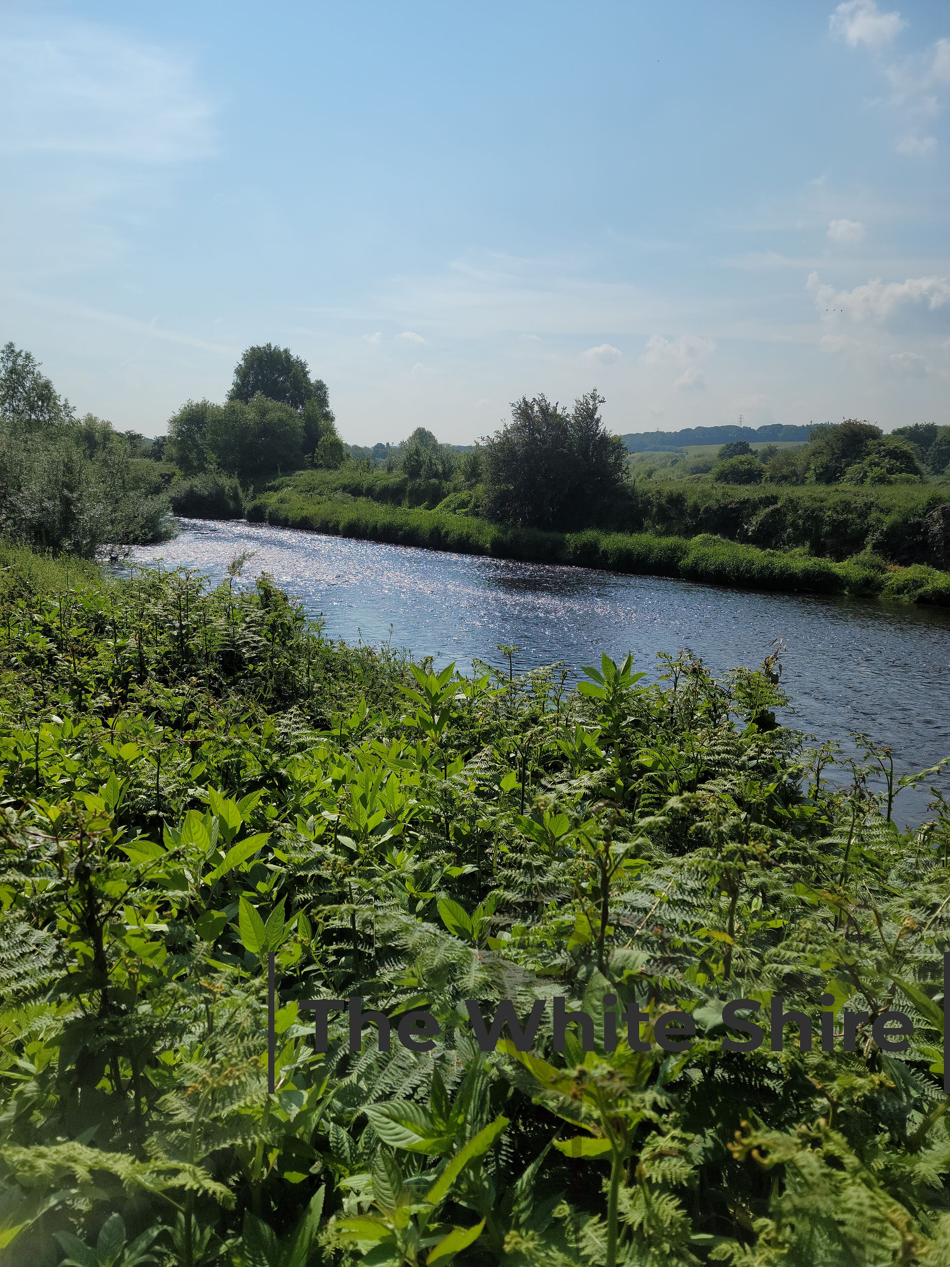
Hebble and Calder 
Hebble and Calder 
Hebble and Calder 
Hebble and Calder 
Hebble and Calder 
Hebble and Calder 
Hebble and Calder 
Hebble and Calder 
Explore More Yorkshire
If you'd like another walk around the Calder Valley and its waterways, try our Brighouse Circular Walk or the Rose Cottage to Sowerby Bridge Walk. Both are separate GPS-recorded routes.
See West Yorkshire Walks and our Yorkshire Walks collection for more GPS-recorded outings.
For the waterway's background and current information, visit the Canal & River Trust's Calder & Hebble Navigation page.
Recorded by Michael and Lyn for The White Shire.


Comments