
3.28mi Towton Circular Walk

Updated: 3 days ago
This 3.28-mile Towton circular walk is one of our shorter routes in North Yorkshire, but it crosses countryside with a history far bigger than its mileage. Towton was the site of a decisive battle in the Wars of the Roses in 1461, and the fields around the village remain part of a nationally recognised historic battlefield.
We recorded this circular route ourselves and rated it easy.
Walk at a Glance
Distance: 3.28 miles
Route: Circular, around Towton, North Yorkshire
Difficulty: Easy, based on our recorded walk
Landscape: Towton village and the surrounding agricultural countryside
Starting point and navigation: See the original Komoot map immediately above
History: The Battle of Towton, fought on 29 March 1461
Walking Around Towton
Towton is a small village in the countryside south-west of York. Its name is inseparable from one of the most important battles of the Wars of the Roses. The modern landscape is still largely agricultural, which makes it worth knowing the history before setting off around the village.
Our 3.28-mile circuit is different from the guided trail run by Towton Battlefield Society. The society follows its own route with commentary from volunteer guides.
The Battle of Towton: 29 March 1461
The fighting took place on Palm Sunday, 29 March 1461. Edward IV’s Yorkist army defeated the Lancastrian force opposing his claim to the throne. Henry VI and Queen Margaret survived the campaign, but the victory was crucial in securing Edward’s position as king.
Historic England describes Towton as one of the key battles of the Wars of the Roses and notes its reputation as the largest and bloodiest battle fought in England. The numbers involved and the number killed are still debated. The surviving accounts do not give a single consistent picture, and it is better to acknowledge that uncertainty than repeat an enormous casualty figure as unquestioned fact.
The battle followed fighting around Ferrybridge and Dinting Dale. On the main battlefield the armies faced each other on high ground near Towton Dale, with Cock Beck forming an important part of the terrain to the west and north. These are features of the wider battlefield, while the Komoot map shows our own 3.28-mile circuit.
A Battlefield Still Visible in the Landscape
Historic England has placed Towton on the Register of Historic Battlefields. The registered area includes the village environs and a broad stretch of farmland around Saxton, Towton Dale and Cock Beck. Its open character is one reason the site is so significant: despite centuries of farming, much of the underlying shape of the terrain is thought to remain recognisable.
The site has also produced important archaeological evidence. Excavations near Towton Hall in the 1990s uncovered a mass grave associated with the conflict, while further work has identified battlefield material elsewhere. That research helps historians test the written accounts rather than simply repeating them.
A memorial cross stands in the wider battlefield area, often called Lord Dacre’s Cross. Historic England notes that its direct connection to Lord Dacre is not established. It is a useful example of how local tradition and documented history can overlap without being quite the same thing.
Historic England’s full Towton registered battlefield record explains the topography, historical sources and archaeological findings.
Learning More About the Battle
For anyone who wants the history explained on the ground, Towton Battlefield Society runs separate guided walks with volunteers who study the battlefield. Their trail is not the same route or distance as our Komoot walk, so the two should be treated as different outings.
The society covers the historical evidence, the events leading up to the battle and the continuing debates about how the fighting unfolded. That is a worthwhile complement to a self-guided walk around this part of North Yorkshire.
Our Towton Photographs

Towton Circular Walk. T 
Towton Circular Walk. 
Towton Circular Walk. 
Towton Circular Walk. 
Towton Circular Walk. 
Towton Circular Walk. 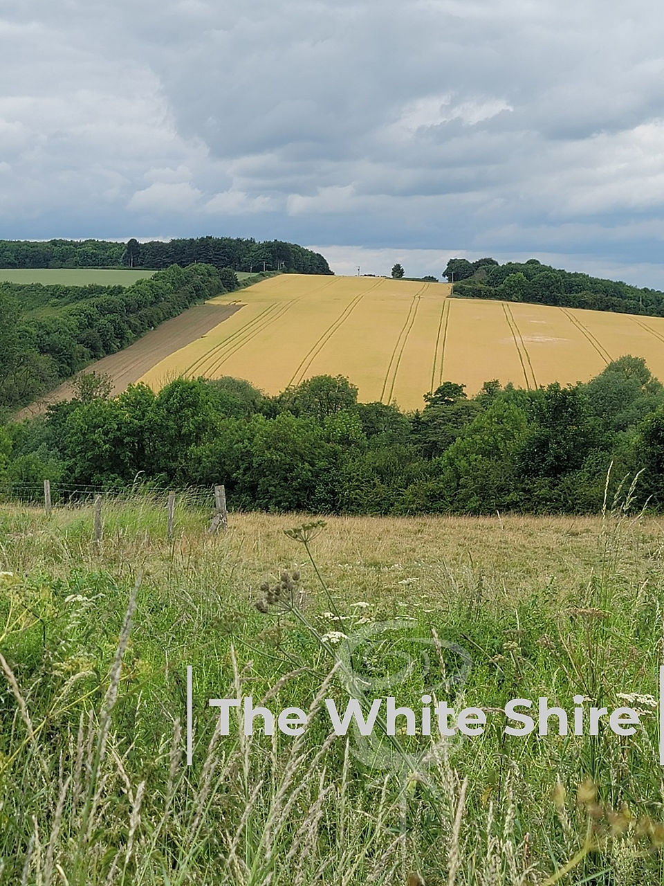
Towton Circular Walk. 
Towton Circular Walk. 
Towton Circular Walk. 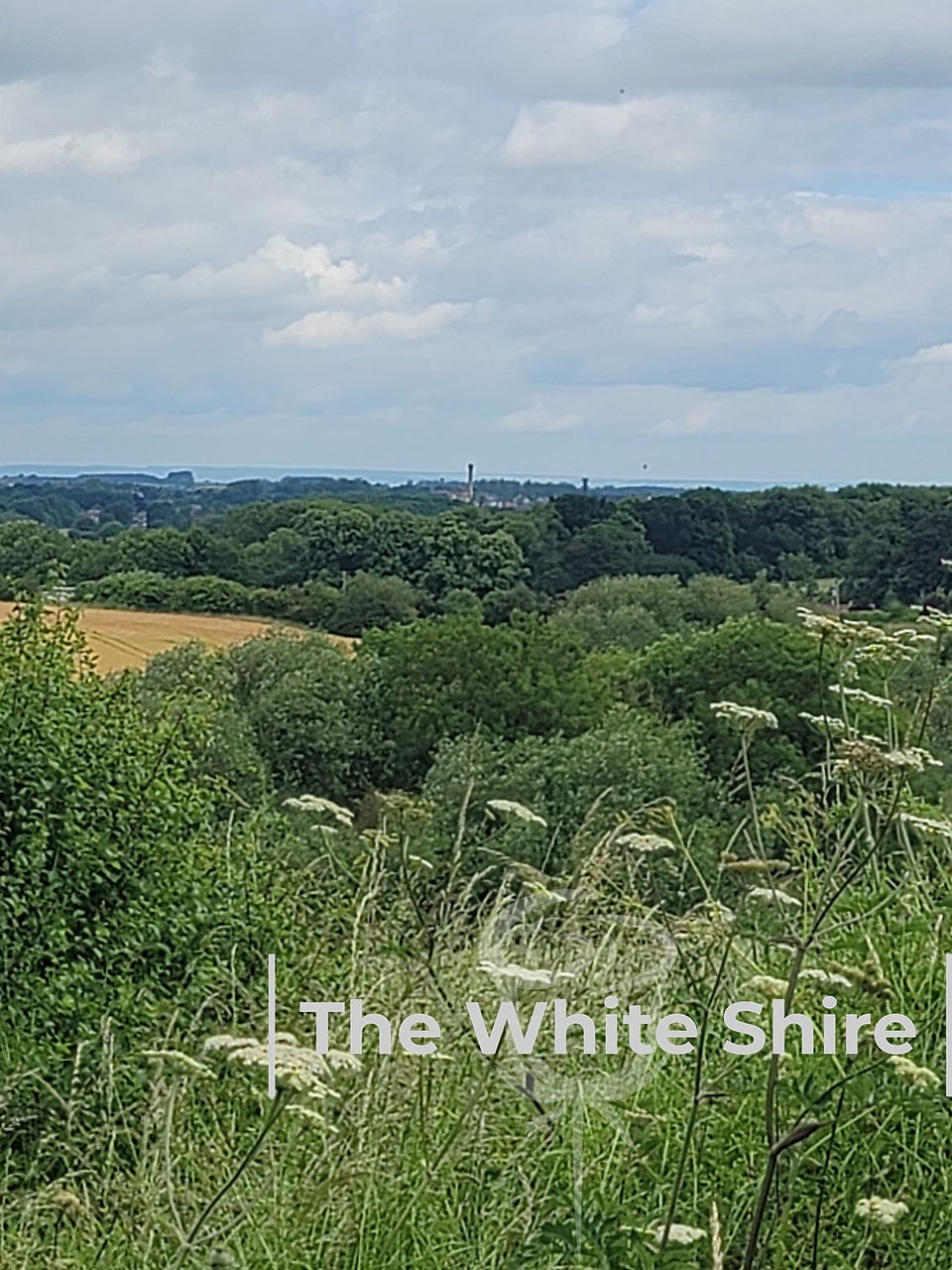
Towton Circular Walk. 
Towton Circular Walk. 
Towton Circular Walk. 
Towton Circular Walk. 
Towton Circular Walk. 
Towton Circular Walk. 
Towton Circular Walk. 
Towton Circular Walk. 
Towton Circular Walk. 
Towton Circular Walk.
Explore More Yorkshire Walks
For the events immediately before Towton, read our The Battle of Ferrybridge.
You can browse more routes on our North Yorkshire Walks page, or explore the full Yorkshire Walks collection.
Walked, photographed and GPS-recorded by Michael and Lyn for The White Shire.


Comments